 9039055445
Geography

Geography of Kanha
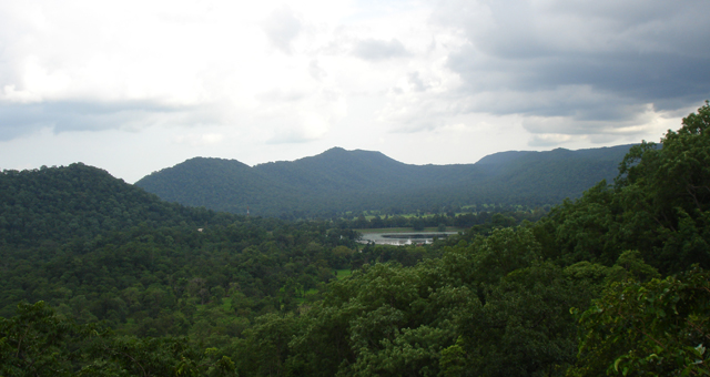
Kanha lies in the central Indian highlands which account for nearly half of India's forests. The Reserve is located in the Mekal Range which forms the eastern base of the triangular Satpura Range.
Kanha's landforms
Kanha's landforms support good multi-tiered forests.
Soil varies from clayey to sandy to finely textured and is rich in humus. Soil types include alluvial, sahara, barra, and black-cotton. The Deccan trap is the principal geological formation of Kanha. The rocks here have iron compounds which give them a characteristic red colour.
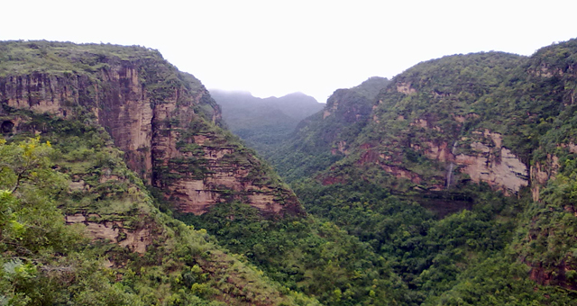
The Maikal range of hills
The Maikal range of hills runs along the eastern boundary of the Reserve.
The range has many plateaux and its elevation varies from 2,000 feet (600 m) to 3,000 feet (900 m) above sea level. Locally known as 'dadars' these plateaux can be as large as 12 sq. km. They support abundant grass.
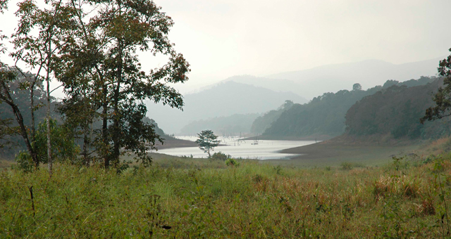
The central Indian highlands
The central Indian highlands are also the source of several important rivers like the Narmada and the Mahanadi.
Of the two main rivers in the Park, the Halon is perennial and the Banjar, although not perennial, has small and large pools of water in summer. Both these rivers drain into the Narmada.